Connections
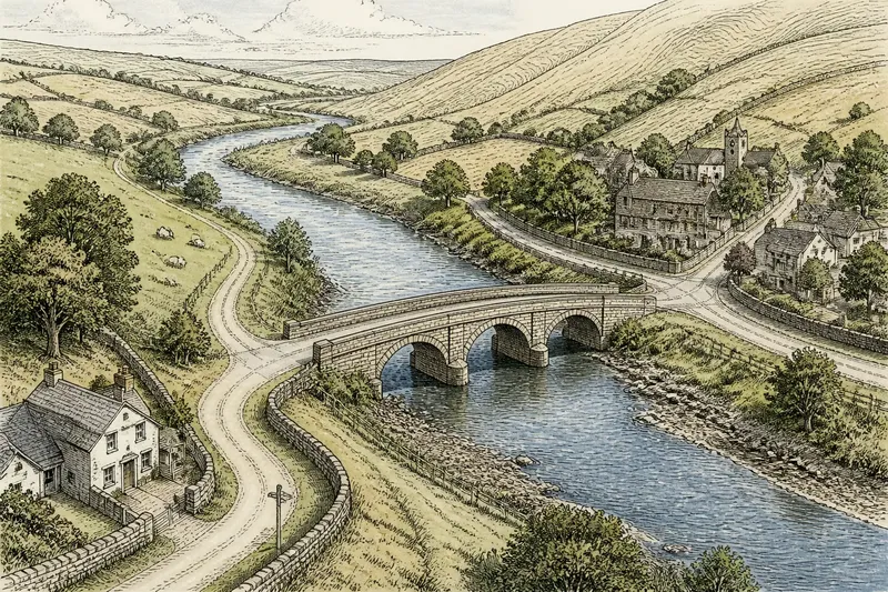
Why River Crossings Draw Roads Together
River crossings draw roads together where a bridge, ford or ferry links banks. Read the approaches, terrain and nearby…
Browse explanations of county landscapes, settlements, boundaries, connections and place names. Each article takes one question and gives readers a clear way to look more closely.
River crossings draw roads together where a bridge, ford or ferry links banks. Read the approaches, terrain and nearby…
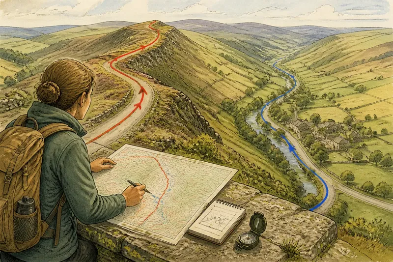
Ridge road or valley road: learn to identify a route’s landform and understand how slopes, water and nearby places…
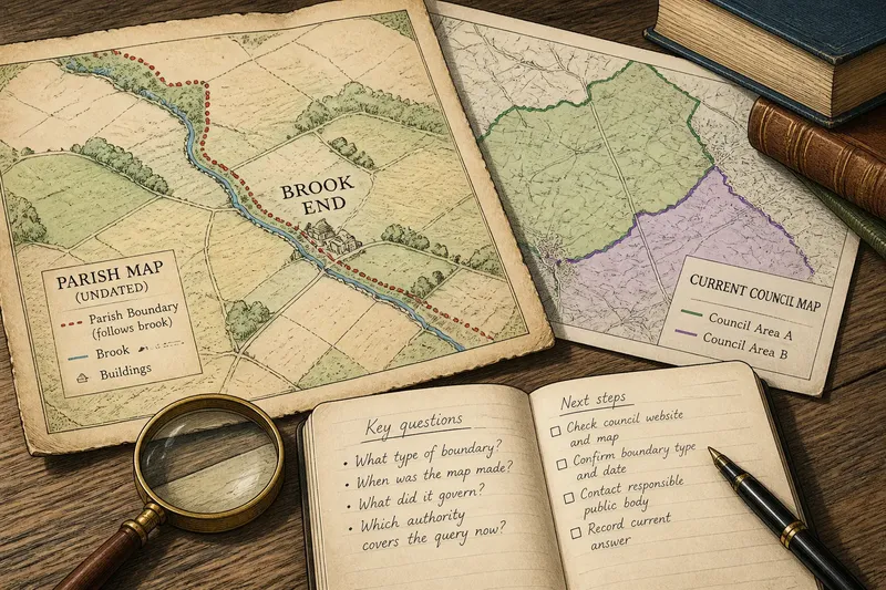
Learn how to read older county boundaries by checking a map’s date, purpose and legend, and distinguish historical…
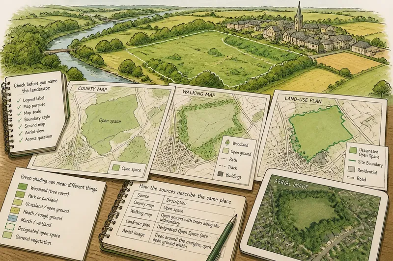
Green map shading can mean woodland, grassland or designated open space. Learn to check the legend and describe a…
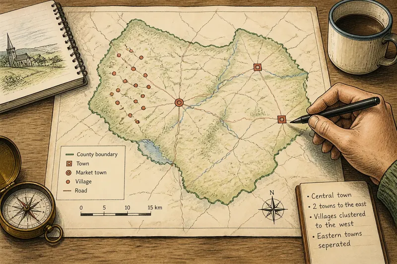
Read an unfamiliar county map with a clear sequence: judge its scale, set its orientation, locate settlements and…
Western County Review looks past labels and lines to the land and connections behind them. We separate what a map shows from what a reader might infer.